McAlveys Fort Huntingdon County Pennsylvania Fort Street View 1908 Real Photo Postcard
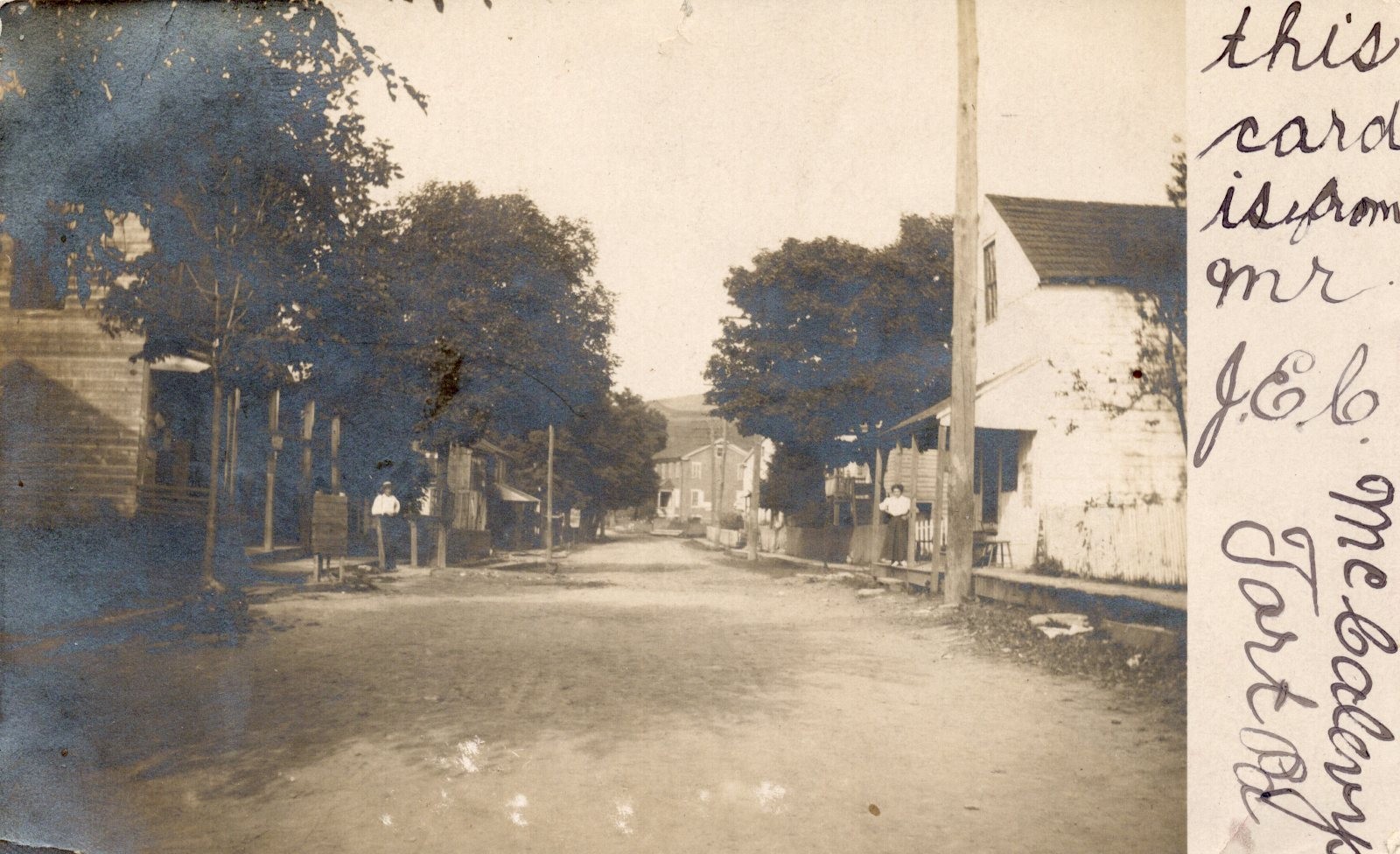
Fort Loudon, Pennsylvania, a historic village in Franklin County, derives its name from a British frontier fort established in 1756 during the French and Indian War. By the early 20th century, when this postcard was likely produced, it had transitioned into a quiet rural community, functioning as a local center for the surrounding agricultural landscape. Its street plan, featuring a central thoroughfare, reflects its development from a strategic outpost to a modest commercial and residential hub.
The image captures a quintessential Main Street scene from an early 20th-century American small town, characterized by its unpaved road and functional frame structures that likely housed local businesses or residences. Such streets were vital arteries of community life, serving as primary locations for commerce and social interaction. The presence of pedestrians indicates the prevailing mode of travel and daily rhythm before the widespread adoption of automobiles, offering a glimpse into rural Pennsylvania life during this transitional period.
The image captures a quintessential Main Street scene from an early 20th-century American small town, characterized by its unpaved road and functional frame structures that likely housed local businesses or residences. Such streets were vital arteries of community life, serving as primary locations for commerce and social interaction. The presence of pedestrians indicates the prevailing mode of travel and daily rhythm before the widespread adoption of automobiles, offering a glimpse into rural Pennsylvania life during this transitional period.