Sunnyside Washington Street Scene REO Automobile 1910 Real Photo Postcard

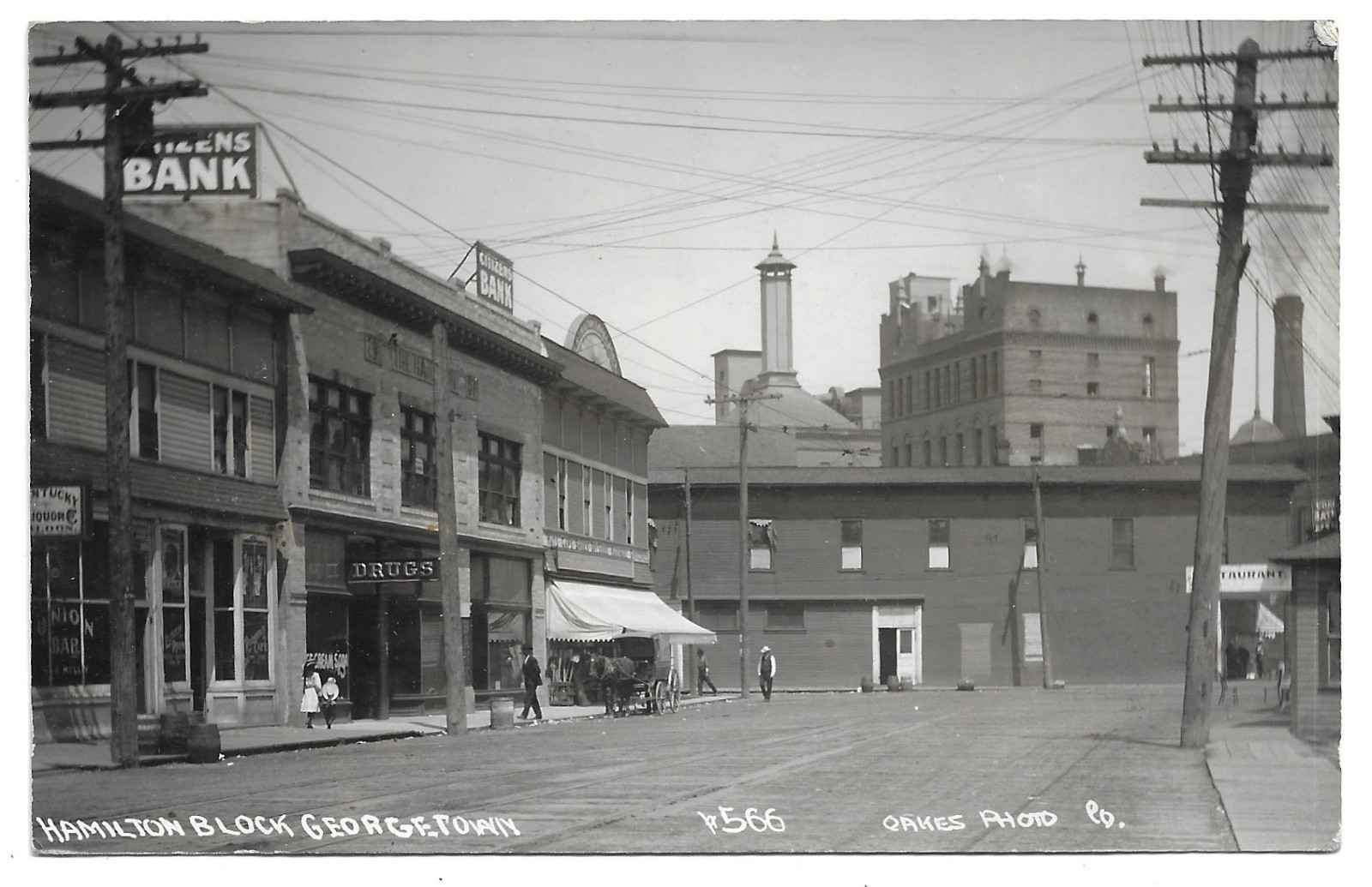
Sunnyside, Washington, established in 1902, grew rapidly as a planned irrigation community in the fertile Yakima Valley. Its foundation was directly linked to the Sunnyside Canal, a major irrigation project that transformed arid land into productive agricultural tracts, attracting settlers seeking economic opportunity in farming. The presence of early automobiles and unpaved roads indicates a period of development likely in the 1900s or 1910s, reflecting the town's nascent stage.
This era saw Sunnyside emerge as a hub for agricultural services, exemplified by the "Insurance, Farm Loans, Acerage Tracts" sign visible in the scene. Such businesses were vital to supporting the influx of farmers and the expansion of the local economy, which relied heavily on crops like alfalfa, fruit, and sugar beets. The commercial buildings along the street signify the establishment of essential services and trade within this growing Western town.
This era saw Sunnyside emerge as a hub for agricultural services, exemplified by the "Insurance, Farm Loans, Acerage Tracts" sign visible in the scene. Such businesses were vital to supporting the influx of farmers and the expansion of the local economy, which relied heavily on crops like alfalfa, fruit, and sugar beets. The commercial buildings along the street signify the establishment of essential services and trade within this growing Western town.