West Seattle Washington Water Front 1910 Real Photo Postcard
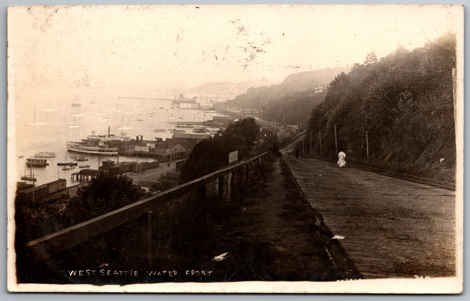
West Seattle's waterfront, depicted in this early 20th-century view, was a critical artery for the nascent community before its annexation by the City of Seattle in 1907. Situated on Elliott Bay, it served as a primary transportation hub, with numerous boats, including prominent ferries, connecting residents and goods to the rapidly growing downtown Seattle core and other points on Puget Sound. This era marked a significant period of development for West Seattle, evolving from a recreational resort area into a residential and industrial district.
The reliance on water transportation, particularly ferries, was paramount for West Seattle's integration into the greater Seattle area, given the challenging topography and the lack of extensive road infrastructure at the time. This postcard captures the dynamic environment of a bustling waterfront, reflecting the region's economic activity and the essential role of maritime connections in shaping the urban landscape and connecting disparate communities within the burgeoning metropolis of Seattle.
The reliance on water transportation, particularly ferries, was paramount for West Seattle's integration into the greater Seattle area, given the challenging topography and the lack of extensive road infrastructure at the time. This postcard captures the dynamic environment of a bustling waterfront, reflecting the region's economic activity and the essential role of maritime connections in shaping the urban landscape and connecting disparate communities within the burgeoning metropolis of Seattle.