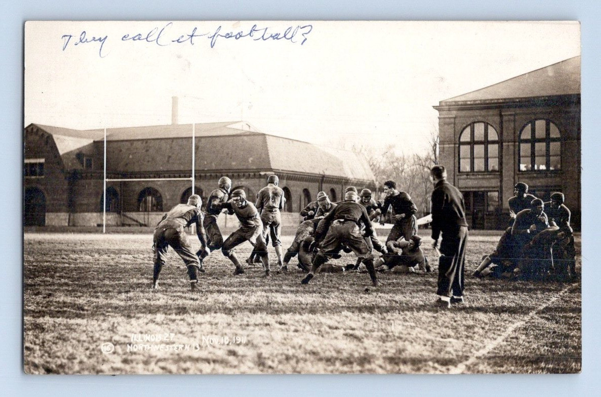
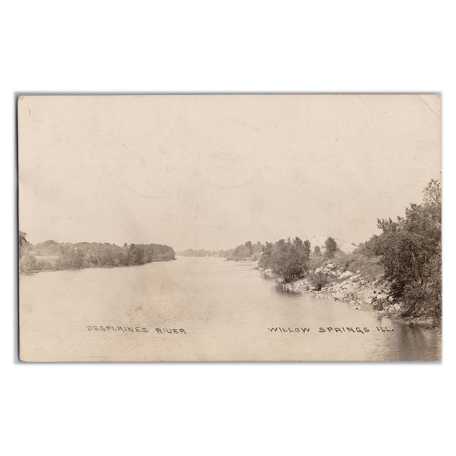
Willow Springs Illinois Des Plaines River 1911 Real Photo Postcard
The Des Plaines River, winding through northeastern Illinois, has historically been a pivotal waterway for both Indigenous populations and early European settlers. It formed a crucial part of the Chicago Portage, connecting the Great Lakes watershed with the Mississippi River basin, facilitating trade and transportation long before the advent of modern infrastructure. Its banks served as important sites for Native American communities, particularly the Potawatomi, who utilized the river for sustenance and travel.
Willow Springs, Illinois, situated along the Des Plaines River, developed as a community influenced by this significant waterway and the later construction of the Illinois and Michigan Canal in 1848. During the late 19th and early 20th centuries, the riverbanks near towns like Willow Springs became popular destinations for recreation, offering respite from Chicago's growing urban landscape. This postcard likely captures the river's serene, largely undeveloped character during a period when natural beauty was sought after by city residents.
Willow Springs, Illinois, situated along the Des Plaines River, developed as a community influenced by this significant waterway and the later construction of the Illinois and Michigan Canal in 1848. During the late 19th and early 20th centuries, the riverbanks near towns like Willow Springs became popular destinations for recreation, offering respite from Chicago's growing urban landscape. This postcard likely captures the river's serene, largely undeveloped character during a period when natural beauty was sought after by city residents.