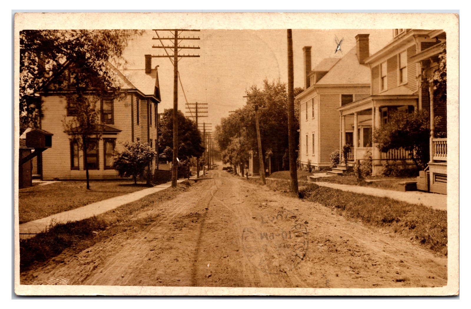
Poydras Louisiana Shell Road to N.O Phillips Land Co Real Photo Postcard

Poydras, Louisiana, an unincorporated community in St. Bernard Parish, historically functioned as an agricultural area southeast of New Orleans. The "shell road" depicted was a prevalent form of early 20th-century infrastructure in the Gulf South, where crushed oyster or clam shells provided a durable and well-draining surface in regions lacking traditional gravel or bedrock. Such roads were vital arteries, connecting rural farming communities like Poydras to the major port and economic hub of New Orleans (N.O.), facilitating trade and transport.
The Phillips Land Co. postcard likely served as promotional material, characteristic of the extensive land development and real estate ventures occurring across the United States in the early 20th century. Land companies acquired and subdivided vast parcels, often improving infrastructure like these shell roads to enhance accessibility and marketability for agricultural settlement or residential expansion. This period underscored a significant demand for better transportation networks, linking rural production with urban markets and supporting regional growth.
The Phillips Land Co. postcard likely served as promotional material, characteristic of the extensive land development and real estate ventures occurring across the United States in the early 20th century. Land companies acquired and subdivided vast parcels, often improving infrastructure like these shell roads to enhance accessibility and marketability for agricultural settlement or residential expansion. This period underscored a significant demand for better transportation networks, linking rural production with urban markets and supporting regional growth.